Les Cevennes
Mt Aigoual, Mt Lozere
Les Cevennes
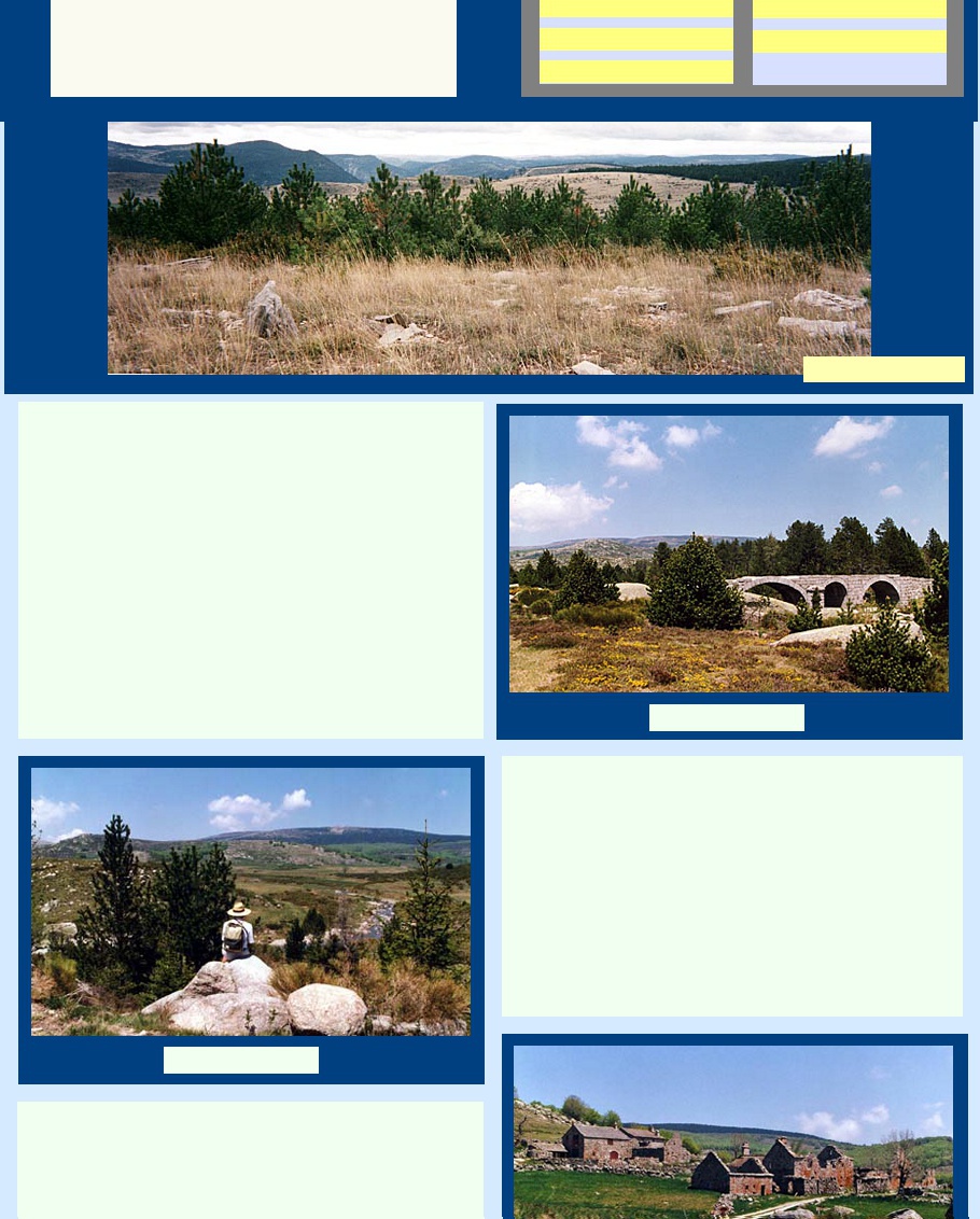
Les Cevennes is the name given to a mountainous area east of
Florac, largely composed of granite, and characterised by a dramatic
series of high ridges which are dominated by the broad massifs of Mt
Aigoual at 1567m and Mt Lozere which is 1699m at its highest point.
Here you are at the demarcation point of the drainage system - the
partage des eaux.
The great rivers of the south west rise here and flow westward
towards the Atlantic - the Dourbie, Tarn, Aveyron, Truyere and the
Lot. Others like the Herault, Cèze and Gard find their way to the
Mediterranean, the latter two after having joined the Rhône.
This is a remote area, virtually uninhabited but dotted with long
abandoned farms and hamlets. In the springtime the area is a mass
of wildflowers like daffodils and violas. It is amazing to see them
growing in wild profusion when we are used to nurturing individual
plants in manicured gardens.
Access to the region is through Florac, Pont de Montvert or Mende.
Florac is a sizeable town in the valley of the Tarnon, just before it
joins the Tarn, and sitting at the base of some massive dolomite cliffs.
It has a good range of hotels and restaurants and there are also lots
of gîtes in the locality. The headquarters of the Parc National des
Cevennes is here, housed in a 17th century chateau, and providing
lots of information for walkers.
Running south east from Florac is the spectacular road called the
Corniches des Cevennes which was built by Louis XIV's military
engineers to enable his artillery to get into the hills and quash the
Camisard rebellion. The construction of this road was an engineering
feat for its day and makes for a spectacular journey today, if you can
crack a day when the characteristic mists have not descended.
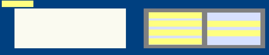
The Walks
South of the Corniches and around Mt Aigoual we found two wonderful
walks. One was through forests and along cross-country ski pistes,
suddenly opening up into a clearing where we lunched in a mass of
daffodils. Here the mountain streams were running down into the valley
of the Hérault. Another walk followed the GR7, high up where the
Tarnon was little more than a trickle and where a stupendous view of
mountains opened up in all directions.
Mt Aigoual is so well placed above the valleys of the Gard, Hérault
and Tarn that it is the site of an observatory. There are tours of its
operations and it offers a perfect vantage point to see weather
happening all around. Nearby is the Abime de Bramabiau where a
stream runs through a deep crack in the cliff. It was explored by
Martel in 1884 and visitors can walk along the narrow river passage.
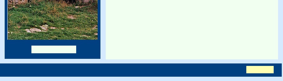
To the west, on the Causse Méjean, was an interesting circuit that took in a spooky
abandoned village called Fretma where the paved roads were overgrown with grasses and
the buildings were slowly crumbling inwards and disappearing under the vegetation. We
also found another strange place called Montpellier-le-Vieux which was like an abandoned
village though this time the "buildings" were natural rocky architectural formations.
There are good walks in the high bleak empty country round Mt Lozere - known locally as
Le "Mont Chauve" or Bald Mountain - and so called following centuries of deforestation
which have left it denuded of any vegetation. This problem has only being addressed in
recent decades with the introduction of revegetation programs designed to restore the
environment to something resembling its original state.
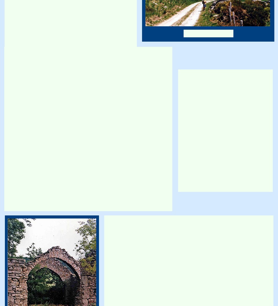
Some trails start out from Le Pont de Montvert, a pretty town in spite of its grim history
as the scene of the bloody Camisard uprising. Another wonderful walk ventured into
Templier country, starting out at l'Hopital, an old Templier village, now in ruins, which had
been a command post of the Hospitaliers de Saint-Jean de Jérusalem. Again the GR7
was a focal point, following the Draille de la Margeride through fields of jonquils, violas
and yellow broom until it reached a perfect lunch spot at the Pont du Tarn which
straddled the tranquil little mountain stream that was the Tarn.
There are other, more exposed walks, around the Somet de Finiels, the highest point on
the Lozere massif. Very popular is a circuit of the crests of Mt Lozere which crosses the
denuded plateau, again on an ancient draille, traverses some of the regenerating forests
and negotiates a route between huge granite boulders.
This is exhilarating country for walking but tough for habitation. The elevation and
geographical location attract so much moisture that the subsequent climatic conditions
are abysmal - constant fog, wet and cold winters and hot, dry summers, and frequent
furious storms. It is not surprising that it became just too hard to sustain a comfortable
living and the economic trend towards rural depopulation just hastened the inevitable.
Nowadays the legacy of abandoned villages and struggling tiny hamlets has become a
tourist attraction and new life is being breathed into the area.
The Camisard Revolt
In 1589 Henry of Navarre came to the throne of
France and immediately issued the Edict of
Nantes, granting religious toleration to the
Protestants who had supported him during the
wars of religion. But in 1685 Louis XIV revoked
the Edict, overturning everything and denying the
protestants the right to practise their religion.
Many were killed or sent to work the galleys.
Many fled.
The protestants of the Cevennes resisted.
Their uprising began in 1702 at Pont de
Montvert when a priest, Francois du Chalya,
notorious for torturing and tormenting
protestants before killing them or sending them
to the galleys, was killed by a group of
peasants tried to rescue some prisoners. The
rebellion raged for two years and only finally
petered out after Louis XVI abolished the law in
1787 and when, in the 1790s, the Revolutionary
government granted toleration to the protestant
communities of the Cevennes who had resisted
the assaults of the Catholic king's troops.
The Stevenson Walk
Robert Louis Stevenson's account of his walk across the Cevennes in 1878 was
published as his first successful book. A reconstruction of his route was undertaken
to mark the centenary, an initiative seen locally as a valuable enterprise to attract
visitors and boost the ailing economy of this rural area. The route, strangely, is not a
GR but is now well marked and is very popular both with walking groups and individual
walkers. It is today a much more civilised experience than when undertaken by
Stevenson but still ventures into some of the most isolated and beautiful country in
this part of France.
Stevenson's account of his journey remains an entertaining read. A beautiful work,
edited by Robin Neilland and published in 1986 describes the inaugural retracing of the
route, reprints Stevenson's work and includes some of his drawings and other lovely
illustrations and photographs.
Stevenson loved to travel and had a great affection for France. He set off from the town
of Le Monastier, a little south east of Le-Puy-en-Velay, with a fur lined sleeping sack
(very like a swag), some books, a leg of cold mutton, a bottle of Beaujolais, chocolate,
tins of Bologna sausage, an egg beater and lots of black and white bread. He carried
his supplies on the back of a small donkey called Modestine.
The journey covered about 120 miles across the Velay and the Vivarais, into the
Gévaudan and the Cevennes, reaching St-Jean-du-Gard after twelve days. Some nights
Stevenson camped out under the stars in his sleeping sack, but often he enjoyed the
hospitality of the small inns which were then in greater abundance than today.
The account of his journey describes, in memorable language, the countryside today
largely unchanged, and his encounters with the local people who were totally immersed
in their tough and rudimentary life. Many of these encounters met with considerable
suspicion and a total lack of understanding as to his presence there.
Return to Top
Le Pont du Tarn
Tarn and Mt Lozere
l'Hopital des Templiers
Ruins at Fretma
Explore more FRANCE
Visit ITALY
Visit SPAIN/PORTUGAL
Explore on MAPS
Return to HOME PAGE
Explore PHOTO GALLERIES